
Road segments
Each road can be divided into multiple road segments.
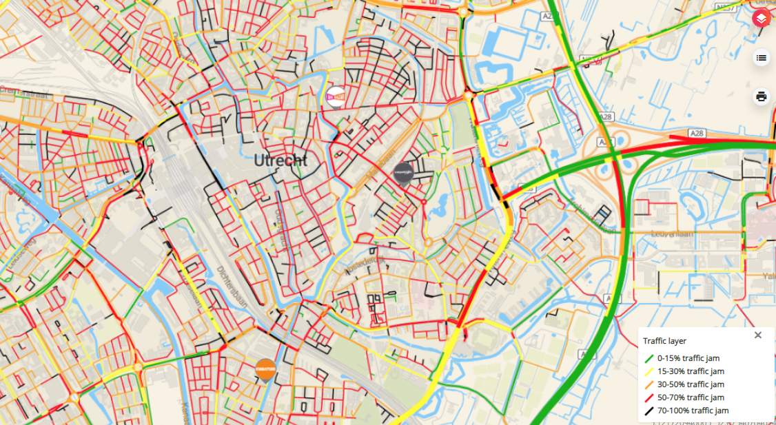
When dropping a marker on the map in location planning, the locations gets attached to a road segment, which is a part of the main road closest to your location. The connecting road segments can be easily validated on the mini map of a location pop-up, indicated by the green roads:
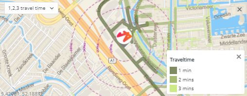
Both drivetimes and passage information are available* per road segment:
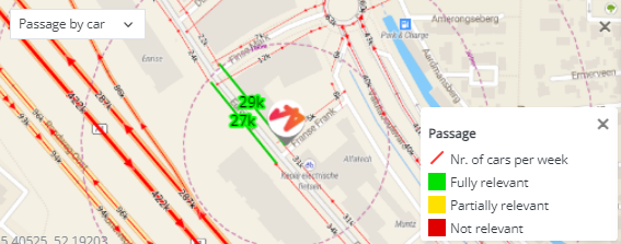
*If those datapacks are acquired.
Last updated: 9/23/24, 4:53 PM